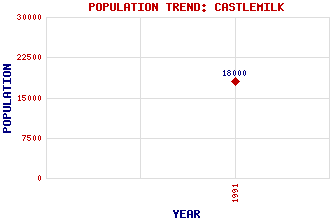
Castlemilk Classification and Statistics Settlement Type: suburb Population (1991): 18000 Tourist Rating: No Text of Entry Updated: 27-NOV-2005 Location Latitude: 55.8013°N Longitude: 4.2318°W National Grid Reference: NS 602 587 A range of modern and historical maps are accessible through the map tab on the right of this page Get directions by entering the UK postcode of your location, home or hotel here eg. EH1 3YT Use the tabs on the right of this page to see other parts of this entry Related Entries There are 17 related entries. (3 Attractions, 1 Council Area, 1 Historical County, 1 Family, 4 Features, 1 Parish, 2 People and 4 Settlements) Names that are not linked do not currently contain any information. Attractions: Castlemilk Pool Castlemilk Sports Centre Cathkin Braes Council Area: Glasgow City Families: Stewart Features: Castlemilk Castlemilk High School Croftfoot Fernhill Historical Counties: Lanarkshire Parishes: Carmunnock People: Des Dillon Paul Grime Settlements: Burnside Carmunnock Glasgow Lockerbie
There are 17 related entries. (3 Attractions, 1 Council Area, 1 Historical County, 1 Family, 4 Features, 1 Parish, 2 People and 4 Settlements)
Names that are not linked do not currently contain any information.
By using our site you agree to accept cookies, which help us serve you better