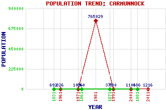
Carmunnock Classification and Statistics Settlement Type: village Population (2011): 1216 (2001): 1106 (1991): 500 (1981): 765029(Combined with Glasgow) (1971): 1026 (1961): 826 (1881): 486 (1871): 376 (1861): 360 (1831): 692 Tourist Rating: No Text of Entry Updated: 11-JUL-2008 Location Latitude: 55.7895°N Longitude: 4.2359°W National Grid Reference: NS 599 574 A range of modern and historical maps are accessible through the map tab on the right of this page Get directions by entering the UK postcode of your location, home or hotel here eg. EH1 3YT Use the tabs on the right of this page to see other parts of this entry Related Entries There are 16 related entries. (1 Attraction, 1 Council Area, 1 Historical County, 2 Families, 2 Features, 1 Parish, 1 Person and 7 Settlements) Names that are not linked do not currently contain any information. Attractions: Cathkin Braes Country Park Council Area: Glasgow City Families: Hamilton Stewart Features: Linn Cemetery Queen Mary's Seat Historical Counties: Lanarkshire Parishes: Carmunnock People: James (Jim) McColl Settlements: Burnside Castlemilk East Kilbride Glasgow Kittochside Rogerton Rutherglen
There are 16 related entries. (1 Attraction, 1 Council Area, 1 Historical County, 2 Families, 2 Features, 1 Parish, 1 Person and 7 Settlements)
Names that are not linked do not currently contain any information.
By using our site you agree to accept cookies, which help us serve you better