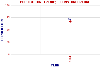
Johnstonebridge Classification and Statistics Settlement Type: village Population (1961): 67 Tourist Rating: N/A Text of Entry Updated: 05-JUN-2001 Location Latitude: 55.2149°N Longitude: 3.416°W National Grid Reference: NY 100 921 A range of modern and historical maps are accessible through the map tab on the right of this page Get directions by entering the UK postcode of your location, home or hotel here eg. EH1 3YT Use the tabs on the right of this page to see other parts of this entry Related Entries There are 20 related entries. (0 Attractions, 1 Council Area, 1 Historical County, 1 Family, 14 Features, 1 Parish, 1 Person and 1 Settlement) Names that are not linked do not currently contain any information. Council Area: Dumfries and Galloway Families: Johnston Features: Annan, River Annandale Annandale Water Annandale Water Services Blaeberry Hill Bog Shaw Criffel Grey Mare Hangingshaw Hill Kirkland Hill Kirkmichael Fell Pumro Fell Raehills Whitefauld Hill Historical Counties: Dumfriesshire Parishes: Johnstone People: Thomas Telford Settlements: Lockerbie
There are 20 related entries. (0 Attractions, 1 Council Area, 1 Historical County, 1 Family, 14 Features, 1 Parish, 1 Person and 1 Settlement)
Names that are not linked do not currently contain any information.
By using our site you agree to accept cookies, which help us serve you better