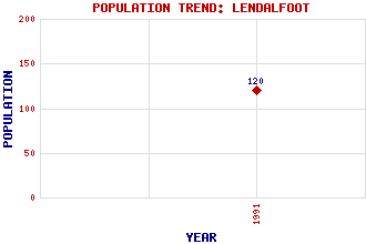
Lendalfoot Classification and Statistics Settlement Type: village Population (1991): 120 Tourist Rating: N/A Text of Entry Updated: 29-JAN-2007 Location Latitude: 55.168°N Longitude: 4.9343°W National Grid Reference: NX 132 899 A range of modern and historical maps are accessible through the map tab on the right of this page Get directions by entering the UK postcode of your location, home or hotel here eg. EH1 3YT Use the tabs on the right of this page to see other parts of this entry Related Entries There are 17 related entries. (5 Attractions, 1 Council Area, 1 Historical County, 7 Features, 1 Parish, 0 People and 2 Settlements) Names that are not linked do not currently contain any information. Attractions: Ailsa Craig Ayrshire Coastal Path Carleton Bay Sawney Bean's Cave Varyag Memorial Council Area: South Ayrshire Features: A77 Trunk Road Balsalloch Hill Carleton Castle Clyde, Firth of Fell Hill Knockormal Hill Lendal, Water of Historical Counties: Ayrshire Parishes: Colmonell Settlements: Carleton Fishery Girvan
There are 17 related entries. (5 Attractions, 1 Council Area, 1 Historical County, 7 Features, 1 Parish, 0 People and 2 Settlements)
Names that are not linked do not currently contain any information.
By using our site you agree to accept cookies, which help us serve you better